What is ESJGeo?
ESJGeo is a mapping and screening tool that provides communities with a nationally consistent approach for combining various indicators. Users choose a geographic area, and select weights from a list of variables; the tool then provides a final weighted index displayed on a map. ESJGeo provides a way to display this information and includes a methodolgy for combining user defined indicators.
At it's core, ESJGeo is a methodology that evaluates neighborhoods of a community and compares them to each other. This is done through statistical normalization of multiple variables before finally combining them into a single index. This single index is calculated dynamically from user controlled inputs.
This tool provides a number of capabilities including:
-Thematic mapping
-The ability analyze demographic variables for a selected area
-Comparisons showing how a selected neighborhood compares to those around it and the nation
Anyone can use ESJGeo. By design ESJGeo is flexible and can be used in a variety of scenarios. ESJGeo is intedned to be a supplement to any decision support analysis effort
Anyone using ESJGeo should note there is substantial uncertainty in demographic data, particularly when looking at small geographic areas. ESJGeo is not intended to provide a risk assessment. Also ESJGeo does not provide data on every relavent indicator that may be of importance to a particular location or topic, and data may be several years old. Screening results should be supplemented with additional information and local knowledge to get a better understanding of the issues in a selected location.

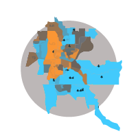
Issaquah, WA
Launch ESJGeo and view
results for this featured City
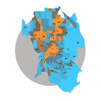
Tulsa, OK
Launch ESJGeo and view
results for this featured City
Allentown, PA
Launch ESJGeo and view
results for this featured City